
Traffic Monitoring & Forecasting
Software that shows a city its traffic — past, present and future. Any sensor, any year, one picture.
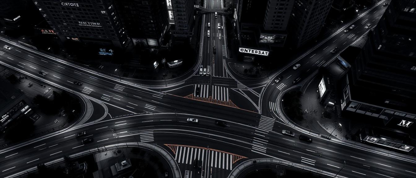
Municipal traffic departments, city planners and decision-makers sitting on decades of traffic records collected across six or more incompatible sensor types.
City traffic data is scattered across six sensor types, each with its own locations, intervals, and years. The archives are huge, planners need detail down to the minute — and every query takes forever.
- 01Bring six or more sensor types into one comparable data model
- 02Reconcile decades of records from different places, periods and intervals
- 03Resolve detail down to the minute, actual traffic against typical
- 04Keep answers near real time on a large archive
One responsive web application that collects from any source, makes it comparable, then analyses and forecasts — in any modern browser.
- Step 01All six sensor types were brought into a single data model, so every record can be compared
- Step 02The platform analyses traffic volumes, speeds, routes, and trip times down to the minute
- Step 03Forecasting covers any street and any future date, with reports and export

Six sensor types now produce one picture, decades of records answer in seconds, and the city can forecast any place on any future date. Proven on the archives the city already holds.
Let’s put your traffic data to work.
Tell us about your sensors and your streets. We’ll turn them into forecasts you can plan on.